About the MRNRD
The Middle Republican NRD was created with the purpose of conservation and preservation of our natural resources. With this in mind, the MRNRD is involved in many programs relating back to the 12 responsibilities the Nebraska State Legislature charged NRDs with in 1972. Those responsibilities are:
- erosion prevention and control
- prevention of damages from flood water and sediment
- flood prevention and control
- soil conservation
- water supply
- development, management, utilization, and conservation of ground water and surface water
- pollution control
- solid waste disposal and drainage
- drainage improvement and channel rectification
- fish and wildlife habitat
- recreational and park facilities
- forestry and range management
The district works closely with several other federal, state, and local agencies to carry out it's programs. The Natural Resources Conservation Service provides technical support. State funding for cost-share programs is provided by the Nebraska Department of Natural Resources. Local partners include district cities, towns and villages; counties and extension offices.
A Physical Description
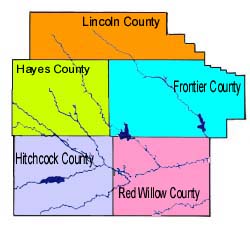 The Middle Republican NRD encompasses most of Frontier, all of Hayes, Hitchcock and Red Willow Counties and the southern third of Lincoln County in southwest Nebraska. The district falls in the middle area of the Republican River Basin.
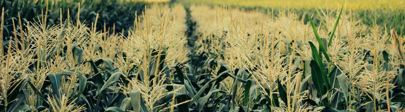
The land area of the MRNRD covers 3,843 square miles or 2,459,520 acres. Rangeland makes up 52% of the land use while 46% is considered cropland. The largest source of water in the district by far is ground water, with an estimated 76,823,000 acre feet of water stored beneath the land surface.
In addition to the Republican River, other important waterways running through the MRNRD are the Medicine Creek, Frenchman Creek, Red Willow Creek, Beaver Creek and Driftwood Creek.
The population of the NRD is roughly estimated to be at 21,000 folks with nearly half residing in rural areas.